Here’s some interesting footage of Centralia PA. It’s actually shot out the window of a small airplane. This provides a unique view of what’s left of the town and the surrounding areas.
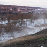
The aerial video begins above Centralia Pennsylvania and is looking east right down Route 61. The camera pans to the south and shows the desolate burn zone. This area continues to be directly impacted by the mine fire’s heat and deadly gases. Fallen trees and brush can be seen.
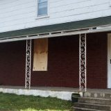
The footage cuts to another shot as the plane does a second pass above the Centralia burn zone. The tops of a few homes stick out. This makes the age of the video evident, as these homes were torn down in 2010 after their owners were evicted the year before.
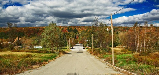
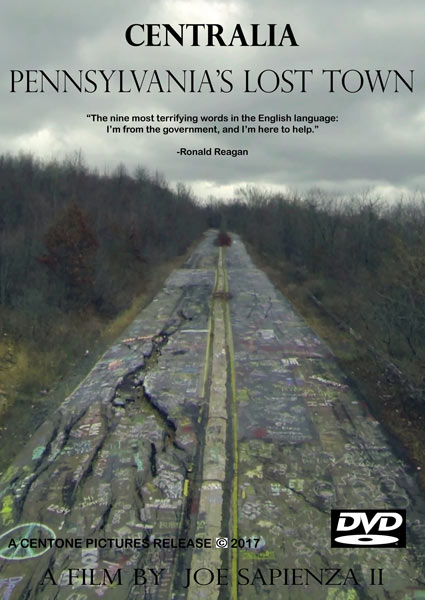
Near the center of the clip, the plane does a fly over above the abandoned section of Route 61 just south of Centralia, PA. In the video, the buckled road can be seen. However, it is amazingly free of the graffiti which covers it presently. This helps to date the video to the early to mid-2000s.
The plane does one final pass over Centralia, Pennsylvania at the end of the clip. It’s actually surprising to see so many homes in the shot. As anyone who has recently visited the town knows, there are only a few buildings left in the borough today.
All of this makes the aerial video a neat piece of history. Beside capturing the town of Centralia from above, it provides one last look at the remaining homes in the town before many of them were razed.
