Here’s a great video sent to us from JohnnyIShootStuff. It was shot a few weeks ago and recently edited together. One of the video’s best parts is drone footage showing aerial views of Centralia, Pennsylvania on a beautiful autumn day.
The video begins with a shot of Route 42 looking south from the municipal building. JohnnyIShootStuff provides a narrated history Centralia and its infamous mine fire.
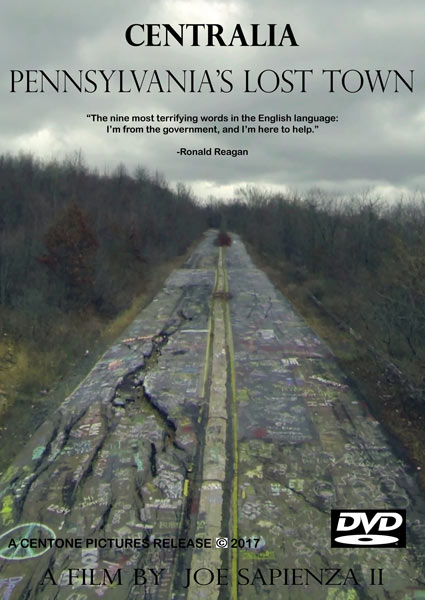
The next clip is from the perspective of a vehicle driving over the dirt barrier blocking entrance to the abandoned section of Route 61. The narrator describes how the section of road used to be free from graffiti back in the 1980s, as well as how it had hot steam rising up on both sides. Some additional shots show all of the paint on the road’s surface and several people exploring it.
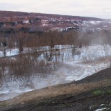
After this there is a terrific aerial view of the mine fire burn zone in Centralia PA. Looking down, it’s easy to see the effects of the underground fire on the area. The burn zone is without trees, and it appears desolate compared to the surrounding fall foliage.
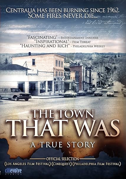
The camera then cuts to a drive through the intersection of Routes 61 and 42. This used to be the center of town, before most of the buildings in Centralia Pennsylvania were razed in the 1980s. JohnnyIShootStuff continues to drive around the borough while describing the town’s history and showing scenes of the area.
This is followed by some excellent footage of the Department of Environmental Protection (DEP) boreholes located around Centralia PA. There are also a few shots of the mine fire’s steam vents, and someone using a digital thermometer to measure their temperature. The reading is 136 degrees Fahrenheit.
The video ends with another aerial drone view of Centralia’s streets from above, and one final drive along the Graffiti Highway.
